Jump to content
© Grant Hansen 2021

grantmhansen

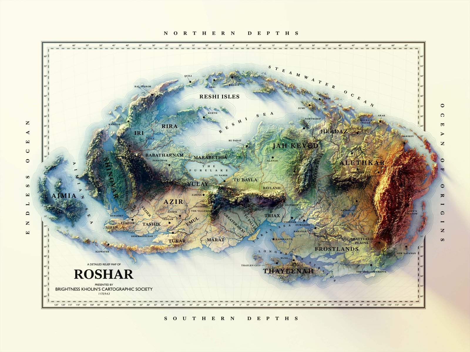
3D relief map of Roshar, created by blending real satellite data from US space shuttle missions, rendering them in a 3D engine, then painting till the creation spren came out to play.

More details and prints available at wayofthemap.com

Copyright

© Grant Hansen 2021

From the album:

Roshar Relief Map

· 1 image
  • 1 image
  • 0 comments
  • 10 image comments


Recommended Comments

On 12/1/2021 at 11:58 AM, Invocation said:

That's killer. I wish I wasn't so broke or I'd buy a print.

I know just how that feels ;) if it helps, you can get 25% off with the code HAPPYHOLIDAYS

Link to comment

Join the conversation

You can post now and register later. If you have an account, sign in now to post with your account.

Add a comment...

×   Pasted as rich text.   Paste as plain text instead

  Only 75 emoji are allowed.

×   Your link has been automatically embedded.   Display as a link instead

×   Your previous content has been restored.   Clear editor

×   You cannot paste images directly. Upload or insert images from URL.

Loading...
×
×
  • Create New...